Maori Maps is a mihi of aroha for the founders and marae throughout New Zealand. It enables users to search for marae throughout the country. It’s an incredible story of humble beginnings and 6 years of field research, filled with cultural sensitivity and design.
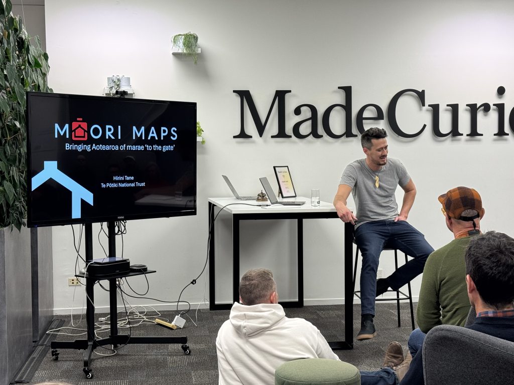
I was lucky enough to attend their presentation. On 15 May 2025 I got to hear more about their incredible journey at the UX Christchurch Meetup. Here’s more from the Māori Maps website about their mission:
Since 2015 Hirini Tane, kaiwhakahaere (manager), has assisted the Directors by overseeing the day-to-day running of Māori Maps. Website development and mapping is maintained by MadeCurious (originally built by Zest IT, then Orbica). Krzysztof Pfeiffer, an internationally renowned photographer, was jointly responsible for the initial photography and curation of the 780 marae on Māorimaps.com. Original media and content generation of the original site was overseen by Michael Hennessy.
Highlights
I was so inspired by Hirini’s talk, the work MadeCurious did to bring it to life. Hirini covered the following:
- At least 6 years of detailed user research was collected.
- Cultural understanding was applied to the entire process, from the research gathering to the presentation of the information on the website
- The end result is a living document, available to the world, that we can all use to start finding and engaging with marae.
Hirini started, humbly, by saying the project might not have been a true “UX design exercise” but I very respectfully disagree – it is exemplary of how UX design can be empathetic to the culture of a subject.
I was deeply moved how the research was conducted and how that information was transferred to MadeCurious. There was a reverence about it that is typical of Maori tikanga. This information is sacred. It is not given lightly. And it is precious to all Māori.
Cultural design
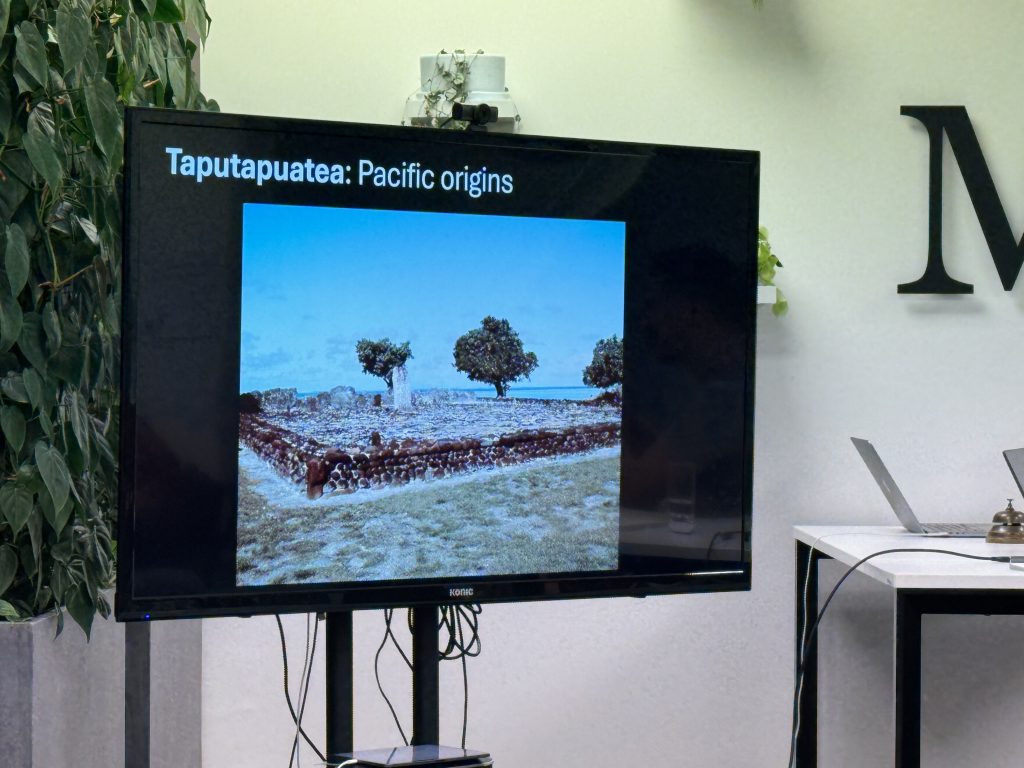
He went on to say that it’s important to consider Māori history in order to properly engage. Starting this project was a labour of love, and he knew they would need to visit every marae personally, hence the 6 years of research.
The government helped with funding as well as other sources, the importance of this was significant enough to warrant it! Before Māori Maps there was no record of every marae in New Zealand.
The site had two previous iterations, so for this third iteration Hirini was adamant that the new company be a partner in the endeavour in all senses of the word. Not simply an agency to build a digital platform but a cultural advocate and champion as well.
The UX research gathered is sacred
At the end of the talk there were many thoughtful questions from the audience, myself included. I was curious how Maori Maps team transferred all their research to MadeCurious. Hirini and his co leader responded very thoughtfully, though somewhat cryptically, as to not give too much away. I did not press for more information, I knew that this handover was part of the importance of the entire project. And I respect how important this project is.
Rob Parsons graciously answered my question along the lines of (not a direct quote): ‘Rest assured we worked with MadeCurious to ensure the information was given thoughtfully and carefully’. I could feel the weight of that statement.
Thank you Maori Maps team and MadeCurious for an amazing event. Thank you for doing this project!